Published
Mark Sargent explains how the USGS (United States Geological Survey) perpetuate globe earth deception.
USGS, US army and other US institutions use the Azimuthal Equidistant Map (AE map) for its navigation and other research projects. Ironically the AE map is in fact a Flat Earth map.
Be the first to comment
Up Next
Autoplay
-
10:05

WHERE IS YOUR MODEL? Flat Earth vs Globe Earth
-
06:05
Where does the sun go on Flat Earth?
-
02:34
How far can we see the sun on a Flat Earth?
-
12:57
Why Would They Lie About Flat Earth?
-
Flat Earth 2.0
-
04:35
What is Above, Below and Beyond the Flat Earth?
-
08:01
Flat Earth Fact #21 - Top of Descent and Glidepath Prove a Flat Earth
-
12:40
Why Lie About Flat Earth?
-
43:26
A Stranger's Guide to Flat Earth | 21 Questions and Answers (Proving The Earth Is Flat) ▶️️
-
10:32
Nothing new under the sun on FLAT EARTH
-
05:09
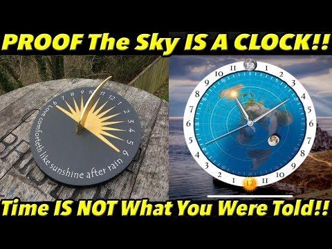
PROOF The Sky Is a CLOCK!! (Time IS NOT What You Were Told!!) | Fe PROOF 16
-
09:17

Dont let them take your mind - ft Alex Michael
-
22:26
75 Bible Verses Prove a Flat Earth (KJV)
-

Elon Musk's Starlink is no more than Sky Balloons
-
43:26

A Stranger's Guide to Flat Earth | 21 Questions and Answers (Proving The Earth Is Flat) ▶️️
-
15:07

What Do Pilots Think? FLAT or ROUND?
-
14:59
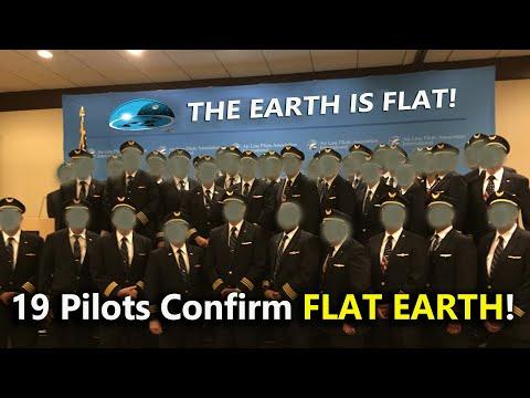
19 Pilots Confirm FLAT EARTH
-
58:17
Flat Earth: Tides
-
14:42

Meteorites Are Not What You Think!
-
12:47

SpaceX Starlink Satellites DEBUNKS NASA’s ISS Hoax